Friday, January 3, 2014

Coldest Outbreak in 20 years hits North America

If you thought today was cold, it's going to get even colder. A brutally cold air mass is already moving its way into the northern half of the United States. A chill that will be felt from Mid West to the South.  It might even get below zero in New York City (as models are suggesting) next week. Take a look at the projected lows for Tuesday Morning, January 7, 2014. Bundle up and stay warm.

Tuesday AM Lows

I think the more ironic part of this is that 2013 was one of the warmest years on record. If you had to ask me, I would say that our extremes are getting more extreme.

Photo Credit:
weather.com

Thursday, December 26, 2013

Throwback: Blizzard of 1996

Your Thursday Throwback, The Blizzard of 1996.

January 6th, snow began to fall over the Mid-Atlantic. And as most east coasters know when the weatherman says a nor'easter, that is  going to be all snow, is on it's way you need to prepare for some big snow and wind. This is exactly what happen from January 6th through the 8th. This snowstorm dropped over two feet of snow in most places.


However, most nor'easter drop this much snow so why is this one remembered, because this storm had a great deal of wind associated with it. Strong wind created whiteout conditions and snow drifts as high as the first story on houses. 
File:Blizzard of 1996 Reading PA.png
This picture is from Temple Pennsylvania. I remember this storm, however, I was little. When the 1996 blizzard hit I was living in Ocean County, New Jersey. That summer is when we moved to Pennsylvania, and I remember asking my dad why Pennsylvania didn't get as much snow as New Jersey did.

I love these big storms! I love to predict them and love to watch the snow pile up.

With the end of the year coming up, I found ten weird things that happened in 2012. It will be like my own count down to the end of the year. This will start on Tuesday December 18th. Get excited!!

Thursday, December 12, 2013

Throwback: 2008 MidWest Flooding

This "Thursday Throwback" is going to take us back about 4 years ago. When this country's mid section was no where near any sort of drought. A very active winter during 2007 and 2008 led the Mid West to already be above normal in terms of precipitation.  Then a very active weather pattern set up in early June creating massive amounts of rain to dump in the country's mid section. The short period of time and the quantity of rain led to tons of flash flooding and eventually massive flooding. The photo below shows the recorded rainfall from January to June. This photo was provided by the National Weather Service.

Jan-Jun 08 Divisional Precipitation Rankings

Many dams broke which led to even worst flooding and devastation throughout most of the Mid-West. This made for some concern for the people who lived down stream of all of this flooding. Many people where already taking precautions and building barriers to attempt in holding back the rising waters. This picture below is just one of the many sandbag walls created. This picture is courtesy of Fox News this photo is from June 15, 2008 in Iowa.

These floods brought massive destruction to nine states in the Heartland. 24 people died as a result of this flooding and over one hundred were injured. One positive thing was when FEMA took action, they were very efficient because the program had just been modified from the Hurricane Katrina disaster. If only they could get some of that rain now.

If you are thinking to yourself, "Man these 100 year floods are seeming to come more often!". You are not alone! Many scientists have been asking this same question. My parting thoughts for you are do you think that man is trying to control mother nature? Or do you think a changing climate is at fault? Or could it be a little of both??

Monday, November 11, 2013

Myth: Ring Around the Moon

Myth: Ring around the moon means that snow or rain will be on its way.

Result: This myth is mostly true.

The Science: The ring around the moon, like the one you see above, is formed by the moonlight shining through very small water droplets or ice crystals located very high in the troposphere. These very small water droplets and ice crystals are usually associated with cirrus clouds. Cirrus clouds are very thin, high clouds. These high, thin clouds can be located out in front of an approaching storm system. While this is not 100% true I can say, the brighter the halo around the moon, the greater the chance of precipitation. So next time the moon is out, look up and see if you can see the halo!

Happy Monday Everyone!!


Photo From:
home.hiwaay.net

Tuesday, October 15, 2013

Forecasting 101: Climate vs Weather

Since the term "Global Warming" is such a hot topic not only in the science world but now is becoming a term used in every day life. I wanted to specify what "Global Warming" is referring to.

Firstly, the term Weather is the state of the atmosphere at a specific place and time. For example, it is 50 degrees outside my house right now with overcast skies. That is the weather. Meteorologists can forecast "Weather" from a Nowcast which is the weather forecast for the next 3-7 hours to long range forecast which is about a 14 day forecast.

After about 14 days the state of the atmosphere becomes hard to predict for a specific place and time so, you generalize, this generalization or averaging is called predicting the Climate. Climate, is an average of weather over a long period of time. For example, when the Dinosaurs roamed, the Earth's climate was very warm. My main point is Climate is an average of the weather that is occurring over a long period of time.
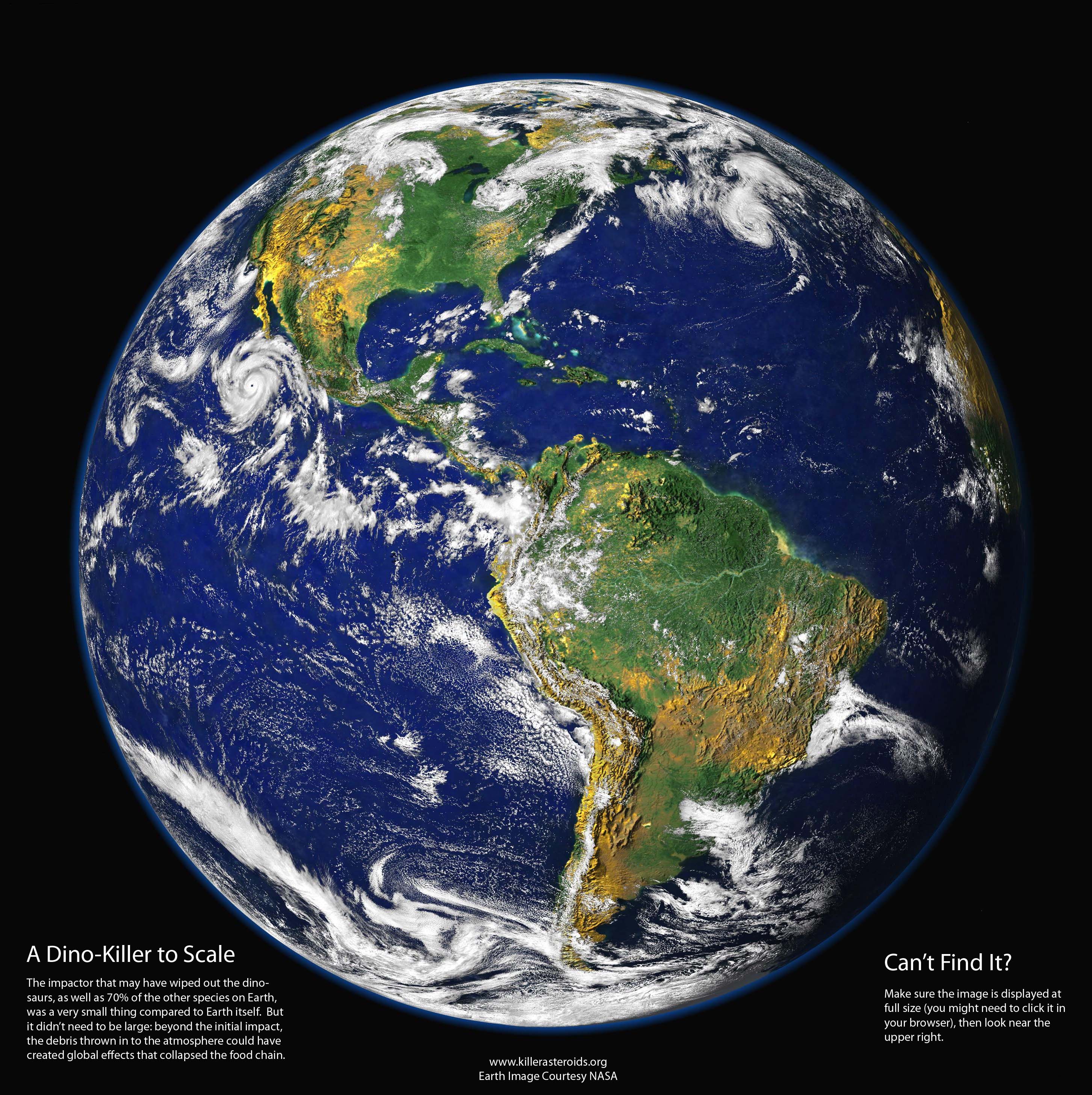
This brings me back to the term "Global Warming", which was first talked about in the 1970's. Global Warming means that in a climate has been increasing in temperature for the past 15-20 years. This means that every place in the world that people are recording temperature data is averaged together to make a plot which shows the global temperature rising over the past several years. That is what the term "Global Warming" means. I'm not going to fight anyone about the specifics on the how's, what's, and why's about Global Warming. I just want to make it clear that "Global Warming" is a CLIMATE term not at weather one.

It's one of my pet peeves when people say it's "Global Warming" when its a hot summer time day in July. Um, hello! It's suppose to be hot in July people, well if you live in the Northern Hemisphere at least. And just because it's hot where you are, which is weather by the way, doesn't mean that it's hot somewhere else.

I'm not saying that the world is or isn't warming I just want to make sure people are using the correct terminology when they speak about it. Short but sweet lesson on Weather and Climate! If you have any questions about the definitions on either of the subjects feel free to ask.

Photo From:
killerasteroids.org

Wednesday, July 31, 2013

Wacky Weather: Dust Storm and Hurricanes

Whoa didn't think you would hear those two words in the same title did you? A large dust storm just came off the North African coast and looks like it may hinder hurricane formation for the first part of August.

A combination of dry air and dust will both cool the ocean and lower moisture levels over the Atlantic Ocean. Now when I say cool I don't mean the ice age is coming. It will only cool about 1°C but in ocean terms this is very significant. 

As meteorologist enthusiast you must have thought the same thing I did when I first heard this, wouldn't this enhance cloud formation? When I took Atmospheric Physics, it was taught by a cloud physicist, who told me dust and salt particles can be the basis of cloud formation. However after further research about my inquiry, I found that more low-level clouds will cool the sea surface as well, which would not aid hurricane formation.

Photo/Idea From:
WashingtonPost.com
wunderground.com

Monday, July 8, 2013

La Grande Weather Service

Just thought I would take a break from weather facts and tell you a little more about myself. I am currently a forecaster at La Grande Weather Service. I dabble in a little bit of everything with them. In the winter, I forecast for Anthony Lakes Ski Area, and now in the summer time I am forecasting fire weather for Northeastern Oregon.

This weather service is based in La Grande, Oregon. They provide various types of forecasts for the residents of Northeast Oregon. Their goal is to supply the rural communities of Northeast Oregon with accurate weather forecasts. This is critical especially in the summer months with the dangers of wild fires. This is why the company has just developed a new fire weather model to help them in forecasting the fire dangers in Northeast Oregon. Check out this new model or LGWS forecasts at the LaGrandeWeatherService.com or email the Meteorologist in Charge, for more info.